Recreation areas & visitor centres
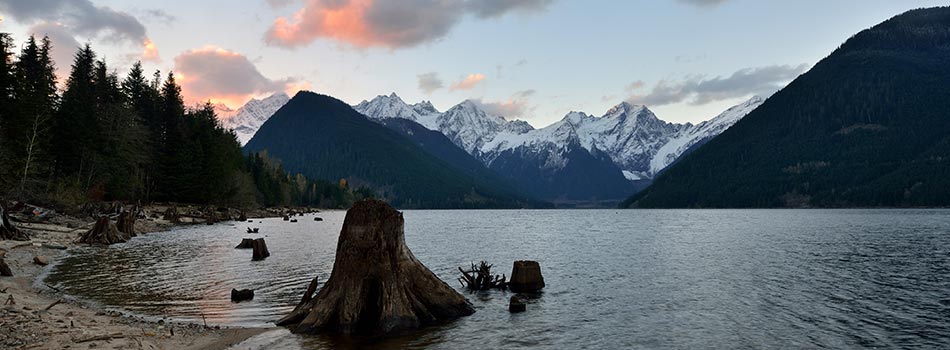
Visiting our recreation sites
We've developed and maintain a wide range of recreation areas as one part of our efforts to balance the province's energy needs with the preservation of the natural environment.
See the chart below for information on our recreation sites – such as Hayward Lake – and our visitor centres and the activities and features of each. We've also included driving directions and site-specific information to help when planning your visit.
Remember to take extra precaution around bodies of water at our sites, and downstream of our facilities, as these areas are located at or near working dams and power stations that contain both natural and man-made hazards and water levels that can change quickly. Please be safe and adhere to all posted signs and warnings.
- View a map of BC Hydro recreation areas.
- Learn about recreation area safety.
Our rec sites are located on the traditional territories of Indigenous Nations
Traditional territories are culturally significant to Indigenous communities due to their role in cultural activities like ceremonies, hunting and harvesting. All of our assets and recreation sites are located on these traditional territories. We acknowledge the past and current impacts of our operations on Indigenous Nations in the province and are committed to honouring Indigenous perspectives and values as we move forward. Explore the pages below to learn which Indigenous traditional territory our rec sites are located on.
Expand view
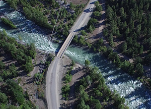
Bridge River
North of Pemberton
Nestled into the range of the Coastal Mountains, you'll find the winding waters of the Bridge River flowing over 120 kilometres. The system is home to three of our dams and two recreation areas offering a selection of outdoor activities.
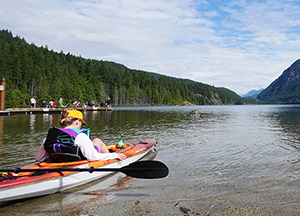
Buntzen Lake
Port Moody
With one visit to Buntzen Lake, you'll understand why it's our most popular recreation site. This picturesque lake is encircled by trails spanning through the forests ranging in difficulty from easy to challenging.
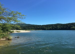
Hayward Lake
Mission
Hayward Lake is part of the Stave River hydroelectric project. Bound between the Stave Lake Dam and the Ruskin Dam, the reservoir is one of three located along the river.
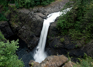
Upper Campbell Reservoir
Campbell River
The Upper Campbell Reservoir campground opened in February 2021, following the permanent closure of the Strathcona Dam campground in November 2020. It features 21 formal campsites, trails, a beach area, and boat launch.
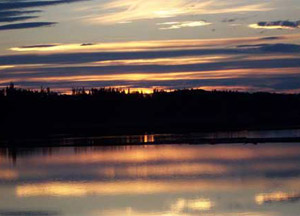
Alexander Mackenzie's Landing
Near Mackenzie
On June 11, 1993, BC Hydro and the residents of Mackenzie dedicated this recreation site "Alexander Mackenzie's Landing" in recognition of the two hundredth anniversary of Alexander Mackenzie's historic journey.
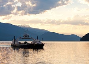
Arrow Lakes Reservoir
Revelstoke area
In the valley between the Monashee and Selkirk mountain ranges is the Arrow Lakes reservoir. A great waterway for boating, it runs 230 kilometres from near Revelstoke in the north, to Castlegar in the south.
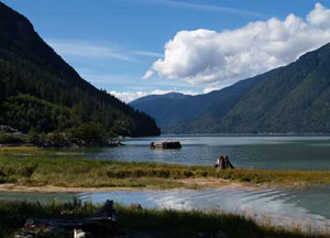
Clayton Falls
Near Bella Coola
The Clayton Falls recreation area is the only ocean-front park in the Bella Coola area. The Bella Coola Valley stretches from the Pacific Ocean in the west, to the Chilcotin Plateau in the east.
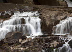
John Hart
Campbell River
BC Hydro's John Hart Generating Station is on the Campbell River, just a few minutes from the town of Campbell River.
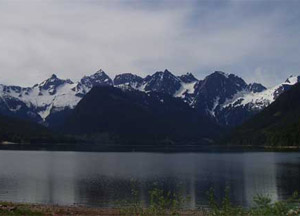
Jones Lake
East of Chilliwack
BC Hydro's Jones Lake Reservoir serves not only as a source of hydroelectric power, but also as an attractive public recreation area.
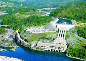
Kootenay Canal
Nelson/Castlgar
Along the Kootenay River, between Nelson and Castlegar, a canal diverts water to BC Hydro's Kootenay Canal Generating Station. Running parallel to the canal is a gentle, level walking trail.
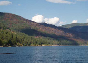
Pend d'Oreille
Trail
BC Hydro's Pend d'Oreille Reservoir serves not only as a source of hydroelectric power, but also as an attractive recreation area for the public.
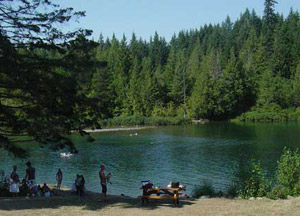
Puntledge River
Courtenay/Cumberland
The Comox Lake Dam Picnic Area is situated on the Puntledge River, at the outlet of the Comox Lake Reservoir. The recreation area offers a parking lot, beach, pit toilet, viewpoint, information displays and a small picnic area.

Revelstoke Dam Visitor Centre
Revelstoke
With guided or self-guided tours, guests can take in a breathtaking view of the dam and the Columbia River Valley from the dam crest at 175 metres above the river.
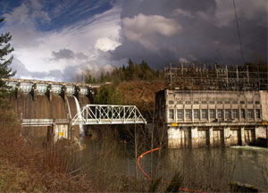
Ruskin Dam
Mission
In the north central Fraser Valley is BC Hydro's Stave River hydroelectric project. The Stave Lake reservoir is bounded by the Stave Lake Dam. Downstream is the Hayward Lake reservoir and the Ruskin Dam.
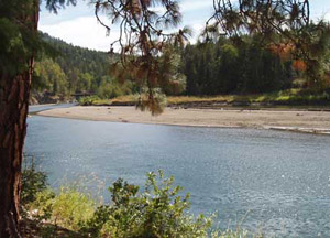
Shuswap River
Vernon
In the beautiful North Okanagan region of B.C., the Shuswap River is ideal for public recreation. Boating, fishing and swimming are only some of the activities that can be enjoyed in the area.
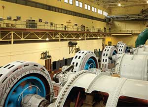
Stave Falls Visitor Centre
Mission
The Powerhouse at Stave Falls has a way of engaging a wide variety of visitors, from individuals to families and school groups
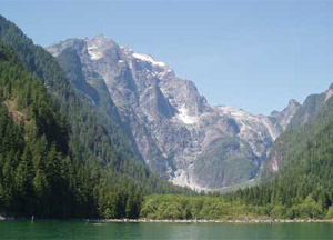
Stave Lake
Mission
In the north central Fraser Valley is BC Hydro's Stave River hydroelectric project. The Stave Lake reservoir is bounded by the Stave Lake Dam. Downstream is the Hayward Lake reservoir and the Ruskin Dam.
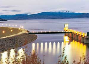
WAC Bennett Dam Visitor Centre
Hudson's Hope
From the Visitor Centre, you'll get a wonderful view of the Williston Reservoir, the largest reservoir in the province. The reservoir is held back by one of the world's largest earth-fill structures, our W.A.C. Bennett Dam.
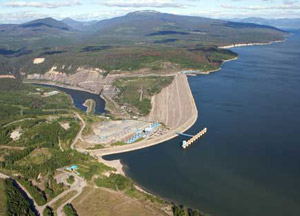
Williston Reservoir
Hudson's Hope
In northeast British Columbia, near the towns of Hudson's Hope and Mackenzie, is Williston Reservoir, seventh largest in the world by volume. The Peace River flows out of the eastern edge of Williston through the Peace River Canyon.
We don't have any recreation sites matching that criteria.